UG SOLUTIONS
Spatial Intelligence

Where Spatial Data Meets Precision Engineering

We deliver advanced end-to-end geospatial systems, artificial intelligence modeling, and robust IT solutions for smart cities, complex infrastructure, and global environmental intelligence.

Scroll

Core Capabilities

Engineering the future of location-based technologies with high-performance software, cloud architectures, and precise data analytics.

Smart Infrastructure

Smart Infrastructure

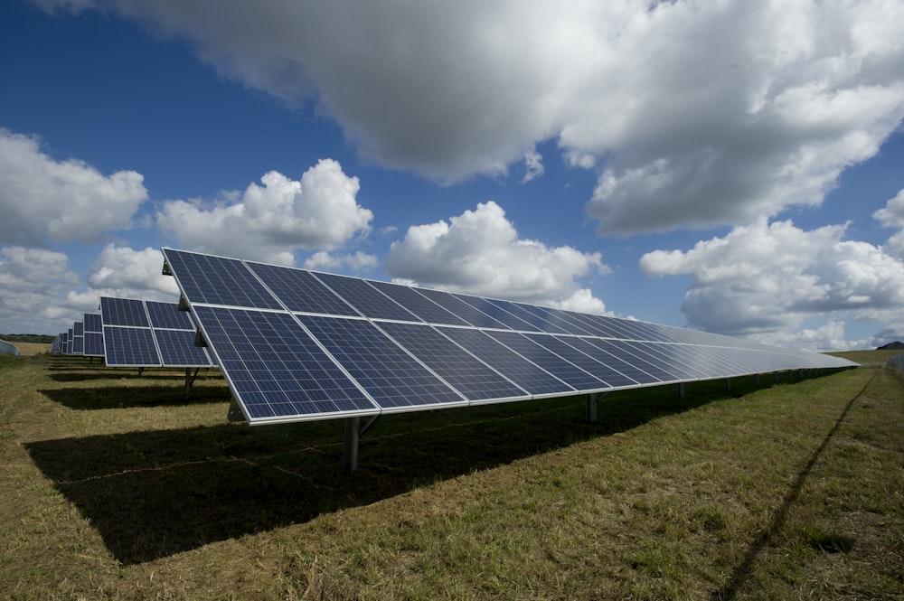
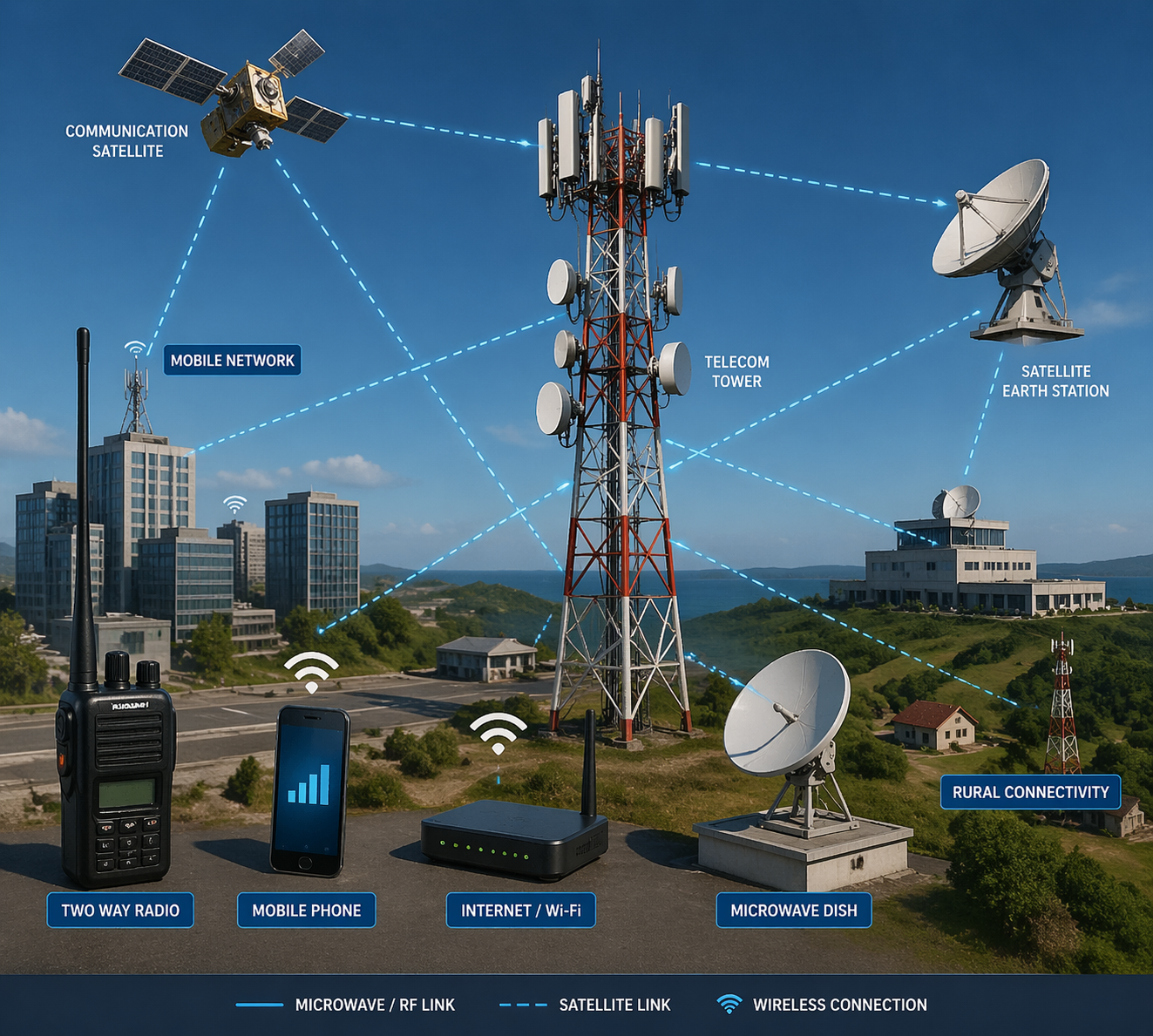
High-precision land systems, network engineering, and hazard assessments for sustainable urban governance.

  • FTTx & Fiber Network Engineering
  • Multi-Hazard Risk Assessment
  • Smart City Spatial Planning
Software Development

Software Development

Custom enterprise apps and scalable WebGIS platforms tailored for demanding geospatial workflows.

  • Enterprise GIS Software
  • Interactive Mapping (Mapbox/React)
  • Spatial APIs & Microservices
Remote Sensing

Remote Sensing & AI

Automated earth observation analytics leveraging machine learning to extract actionable intelligence from imagery.

  • Multispectral & SAR Analysis
  • AI Deep Learning Extraction
  • Time-Series Monitoring (NDVI)
Spatial Data

Spatial Data Science

Advanced geostatistical modeling and big data analytics to uncover hidden patterns across large extents.

  • Site Suitability Modeling
  • Geostatistical Interpolation
  • Big Geospatial Data Processing
Climate Intelligence

Climate Intelligence

Providing environmental awareness through accurate watershed modeling and ecological assessments.

  • Carbon & Emissions Mapping
  • Hydrology & Flood Modeling
  • Biodiversity Assessments
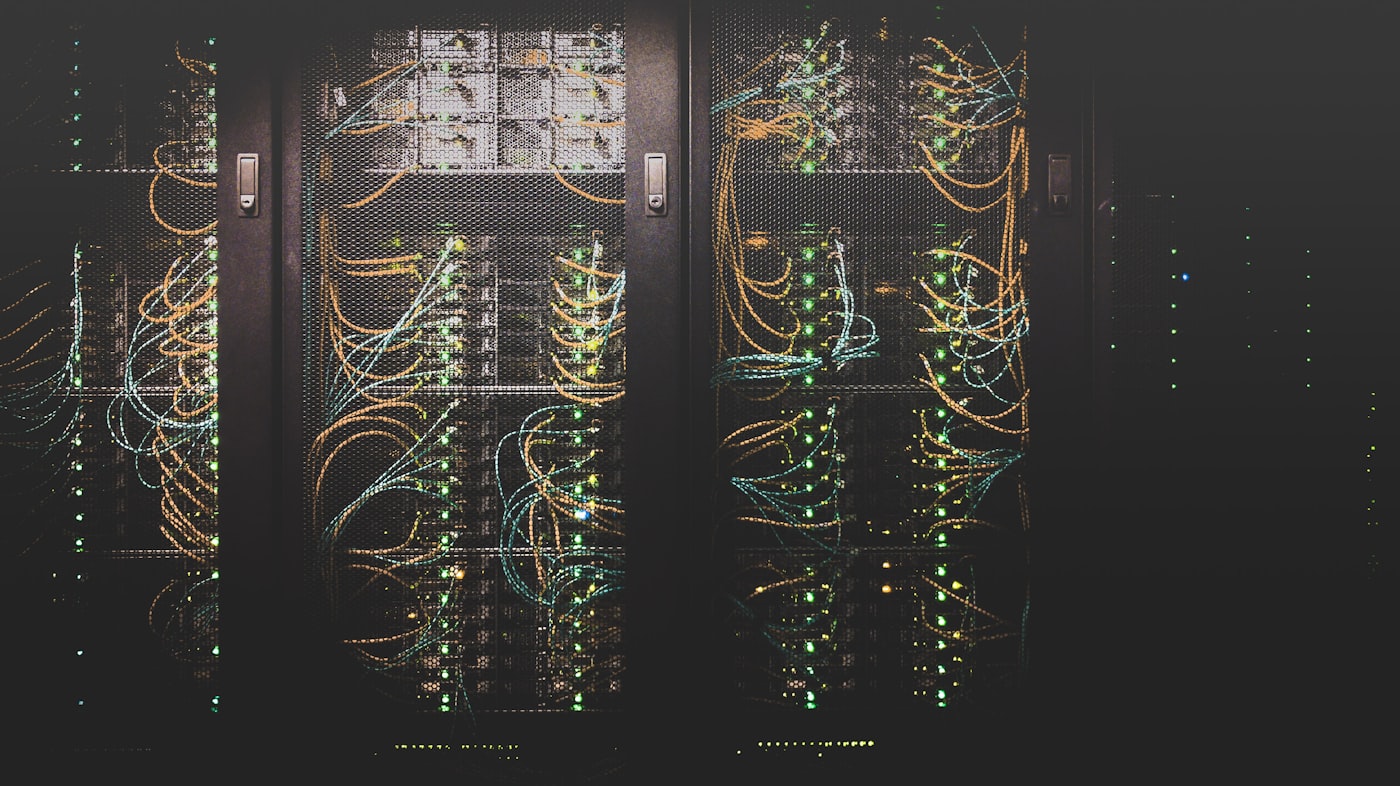
IT Systems

IT & Systems Admin

Deploying secure, high-availability server infrastructures and BI integrations for data-driven decisions.

  • Spatial Database Design (PostGIS)
  • 3D Digital Twin Environments
  • BI Integration

Engineering Excellence in Every Detail

From massive infrastructure projects to pinpoint spatial analytics, our project managers and engineers deliver with uncompromised precision.

Featured Projects

A showcase of our recent solutions driving innovation across urban planning, environmental monitoring, and telecommunications.

Spatial Platform
Palm Bay, USA

Spatial Assessment Platform

A comprehensive geospatial assessment tool integrating multiple federal APIs to evaluate land parcels for zoning, environmental compliance, and structural readiness.

API Integration Environmental GIS
Digital Twin
Germany

Digital Twin: Flood Risk Model

Developed a 3D digital twin to predict the impacts of future flooding. Models simulate decadal scenarios up to 2100 to quantify economic damage and guide resilience investments.

Digital Twin Risk Modeling
Flight Tracker
Global

Real-Time Flight Tracker

A Python-powered, Folium-based interactive web map that ingests live data to visualize global air traffic in real-time, providing immediate insight into active flight trajectories.

Python Folium
Solar Siting
Taylor County, USA

Solar Parks Siting

Advanced geospatial analysis and site selection for utility-scale solar energy parks evaluating solar irradiance, land use constraints, and grid proximity.

Renewable Energy Site Selection
Agri Monitoring
Kuwait

Agricultural Monitoring

Processing high-resolution satellite imagery to monitor agricultural health and water resources in an arid environment via NDVI, GPP, and ET modeling.

Remote Sensing Agriculture
AI App
Software Tool

AI Business Strategy App

An AI-powered location intelligence tool employing machine learning spatial models to score and rank optimal business locations with predictive analytics.

Artificial Intelligence Web App
Radio Link
Software Tool

Radio Link Planner

A specialized spatial tool designed to test and validate line-of-sight communication links between radio internet devices, vital for expanding telecom infrastructure.

Telecom Network Analysis
Dashboard
Global

Global AQI Dashboard

A high-performance interactive dashboard visualizing live Air Quality Index (AQI) data globally. Aggregates sensor data for immediate insight into environmental health.

Dashboard Data Visualization
Web GIS Platform
Al Fujairah, UAE

Dibba Web GIS Platform

A full-featured Web GIS application combining high-resolution raster tiles, built-in vector layers, and browser-triggered spatial analysis geoprocessing.

Web GIS Geoprocessing